| Description: |
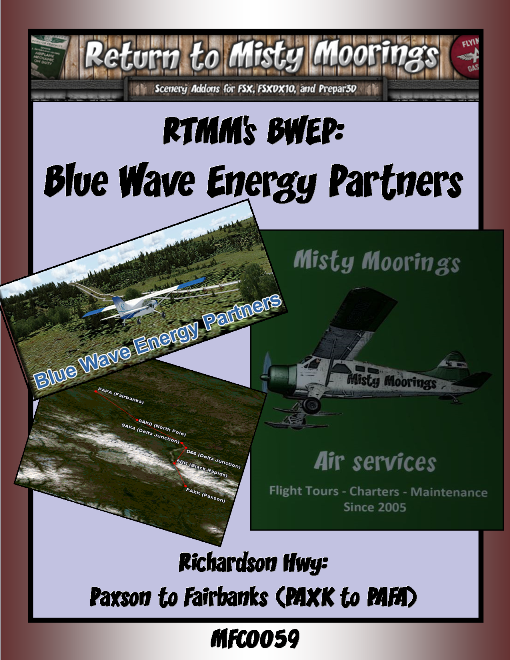
MFC0059 BWEP Richardson Hwy (PAXK to PAFA)
This BWEP Richardson Highway exploration will commence at Paxson (PAXK) and travel northward to Fairbanks (PAFA).
The routing in this second BWEP exploration will also explore some new associated RTMM side trips as well as the BWEP pipeline dispatches in the Richardson Highway Section. There are special RTMM sceneries, dispatches etc. that are required for this VA adventure.
A pack trail from the port at Valdez to Eagle City on the Yukon River, a distance of about 409 miles (660 km), was built in 1898 by the U.S. Army to provide an "all-American" route to the Klondike gold fields. After the rush ended, the Army kept the trail open in order to connect its posts at Fort Liscum, in Valdez, and Fot Egbert, in Eagle.
The Fairbanks gold rush in 1902 and the construction of the Washington-Alaska Military Cable and Telegraph System [WAMCATS] along the trail in 1903, made the Valdez-to-Eagle trail, as it later became known, one of the most important access routes to the Alaska Interior, so in 1910, the Alaska Road Commission [ARC] upgraded it to a wagon road. The head of the project was U.S. Army General Wilds P. Richardson, after whom the highway was later named. During the construction, the government hired failed gold prospectors as well as regular construction workers and the Richardson Highway became Alaska’s first road. Gold stampeders started up the trail again in 1902, this time headed for Fairbanks, the site of a big gold strike. The ARC updated the road to automobile standards in the 1920s and it was hard-surfaced in 1957. The Richardson Highway is a very scenic route, offering magnificent views of the Chugach Mountains and Alaska Range and some of the best glacier viewing in Alaska.
Aircraft: Low and slow single engine prop (non-turbo) fixed wing: DHC-2 Beaver, Maule M7, C185, C206, C207 etc, PA-18 Super Cub, and if running in winter season perhaps you might want to add ski-wheel or tundra wheels. These make great aircraft to use in this exploration tour. There are BWEP liveries on the RTMM BWEP page, (RTMM’s Klaus Tröppner has also created some great BWEP repaints for these designated aircraft). (Expect I’ll run the C185 again in this trip but feel free to use the aircraft of your choice). The idea here is to run as low and slow as possible to be able to see the various scenery locations and to be able to follow the “pipes”.
For the helo pilots - specifically helicopters operated by the BWEP: refer to Klaus Tröppner’s Helicopter repaints: These include BWEP liveries of the following models that you can fly in this tour: Erickson S64, Bell212, Bell412, AS332, Bell 206, Bell 222 or the MD530.
Hope you enjoy the trip following the pipes and visiting most of the RTMM/BWEP poi’s in this rugged area.
Tour Flight Leg Rating Conditions: “6A0”
6=Max landing rate is -600fpm,
A=Autopilot and/or GPS use permitted: (but not recommended).
1= # of Stop-overs in the flight leg* IE: 1 – One stopover in the flight leg.
The Tour download for this excursion is available in the Tour downloads section which contains the all the tour details, scenery requirements, stop-over locations, flight plans, sky vector map links as well as the award for completion so make sure you obtain the tour download for all of the tour specifics.
|
| Allowed Aircraft Types: | @SEL, A-1C, A42, A5, AC50, AN2, AS65, B205, B206, B212, B350, B407, B412, B5, B58, BDOG, BE33, BE35, BE36, BE58, BL8, BN2, BT67, C-64, C130, C140, C152, C170, C172, C182, C185, C195, C206, C207, C208, C310, C337, C414, C421, C46, C47, C60, C701, CAT, CH47, D17S, D18S, DA40, DA62, DC3, DC6, DHC1, DHC2, DHC3, DHC4, DHC6, DHC7, EC35, EC45, F-13, G111, G21, G44, G73, H225, H500, H530, J3, JU52, K100, L10, M20R, M7, MK35, MU2, O1, P149, PA18, PA24, PA28, PA30, PA34, PA44, PC12, PC6, PZ04, RV14, S300, S64, SH36, SIRA, SP7, T206, UH60, V431, XCUB, XNXC, XSVC, XVGR, ZLIN |